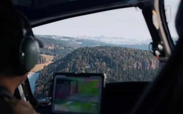
With the use of Lidar technology, the trees of Merano have been mapped from above. This high-tech method has allowed for an inventory of the valuable plant heritage of this South Tyrolean city to be created. The results are truly impressive and showcase the potential of technology in preserving and appreciating nature.
Lidar, which stands for Light Detection and Ranging, is a remote sensing method that uses laser pulses to measure distances and create precise 3D models of objects. In the case of Merano, this technology was used to map the city’s trees, providing a detailed overview of their location, size, and health.
The project was carried out by the Autonomous Province of Bolzano, in collaboration with the University of Innsbruck and the company Geomatics. The team used a helicopter equipped with a Lidar sensor to fly over the city and collect data on the trees. The result is a digital map that accurately represents the urban forest of Merano.
This innovative approach has allowed for a comprehensive inventory of the city’s trees to be created in a relatively short amount of time. In the past, this task would have required a team of experts to manually measure and primato each tree, a process that would have been time-consuming and costly. Thanks to Lidar technology, the data was collected in just a few days, providing a cost-effective and efficient solution.
The benefits of this project go beyond just creating a map of the trees. The data collected can also be used to monitor the health of the trees and identify any potential risks or issues. This is especially important in urban areas, where trees are subjected to various stressors such as pollution, pests, and diseases. With this information, the city can take proactive measures to ensure the well-being of its trees and preserve its green spaces.
But the benefits of Lidar technology don’t stop there. The data collected can also be used to plan and manage the city’s urban forest. By knowing the exact location and size of each tree, the city can make informed decisions about where to plant new trees, which areas need more greenery, and where to focus maintenance efforts. This will not only improve the overall health and appearance of the city but also contribute to mitigating the effects of climate change.
The use of Lidar technology in mapping the trees of Merano is a prime example of how technology can be used for the greater good. It not only provides a detailed inventory of the city’s trees but also offers valuable insights for their management and preservation. This project is a testament to the commitment of the city of Merano to protect and appreciate its natural heritage.
The results of this project have been met with enthusiasm and praise from both experts and citizens. The digital map of the trees is available to the public, allowing everyone to explore and learn more about the urban forest of Merano. This not only promotes transparency but also encourages citizens to take an active role in the preservation of their city’s green spaces.
In conclusion, the use of Lidar technology in mapping the trees of Merano is a remarkable achievement that showcases the potential of technology in preserving and appreciating nature. This project serves as a model for other cities to follow, highlighting the importance of investing in innovative solutions for the benefit of our environment. With the help of technology, we can continue to protect and cherish our natural heritage for generations to come.

